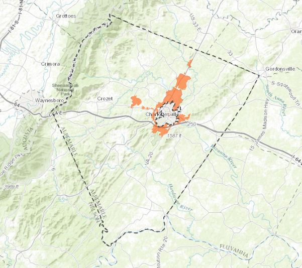
Coming Soon: RCA-AC (Other) Water Resources Stewardship Web Map
For MS4 and other water resource collaborations.

Maps from the Ragged Mountain Reservoir Ecological Studies (Click links for higher quality images):
Coming Soon: RCA-AC (Other) Water Resources Stewardship Web Map
For MS4 and other water resource collaborations.

Maps from the Ragged Mountain Reservoir Ecological Studies (Click links for higher quality images):